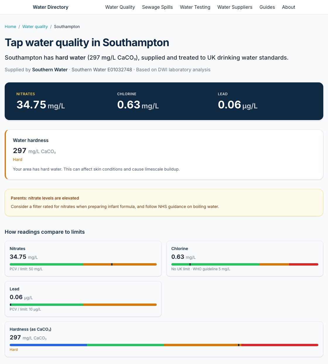
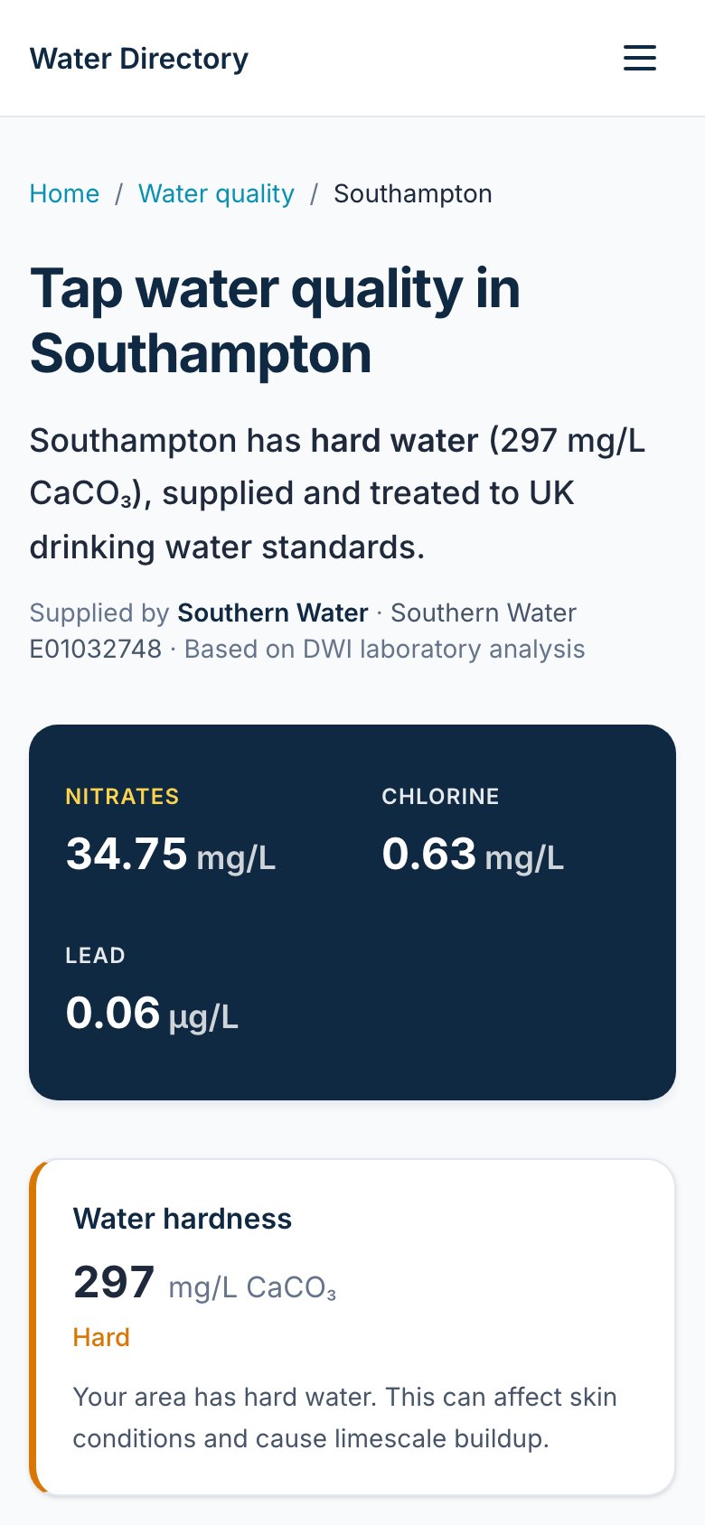
A UK tap-water quality and sewage-spill lookup. Enter a full postcode to see your water supplier's lab readings, set against UK legal limits where they apply.
- Water companies publish their lab results by supply zone, each in its own format, not by postcode. Water Directory turns a postcode into the supplier's readings for nitrate, lead, chlorine, fluoride and hardness, with the UK legal limit shown where one applies.
- Town pages for water quality and for sewage spills are built from the data, not written by hand. The sewage pages show how many times storm overflows spilled, and for how long, from Environment Agency figures.
- As of 19 Oct 2026: 118,748 chemical readings across 27,996 supply zones and areas, plus 215,656 Thames Water postcodes and 48,909 Northern Ireland postcodes matched to their zones. Scotland is not covered yet.
- Where a company doesn't publish its data, the site asks for it through official data requests under the Environmental Information Regulations. As of 19 Oct 2026, 20 requests are listed on the site's public log.
- Water-testing pages explain the free route first, then offer an enquiry form. Enquiries arrive without any marketing.
Data sources: water companies' published lab results via Stream (https://www.streamwaterdata.co.uk), each under that company's own licence; Environment Agency storm-overflow data under the Open Government Licence; postcode lookup by postcodes.io; Northern Ireland postcodes from Open Data NI; and Thames Water's postcode mapping, obtained under the Environmental Information Regulations. Hardness comes from the water companies' own published reports and, in some areas, is estimated from geology.